Stone wall and stand on Stora alvaret
02 June 2021
Ten Excursion Pearls

stora alvaret, southern Öland

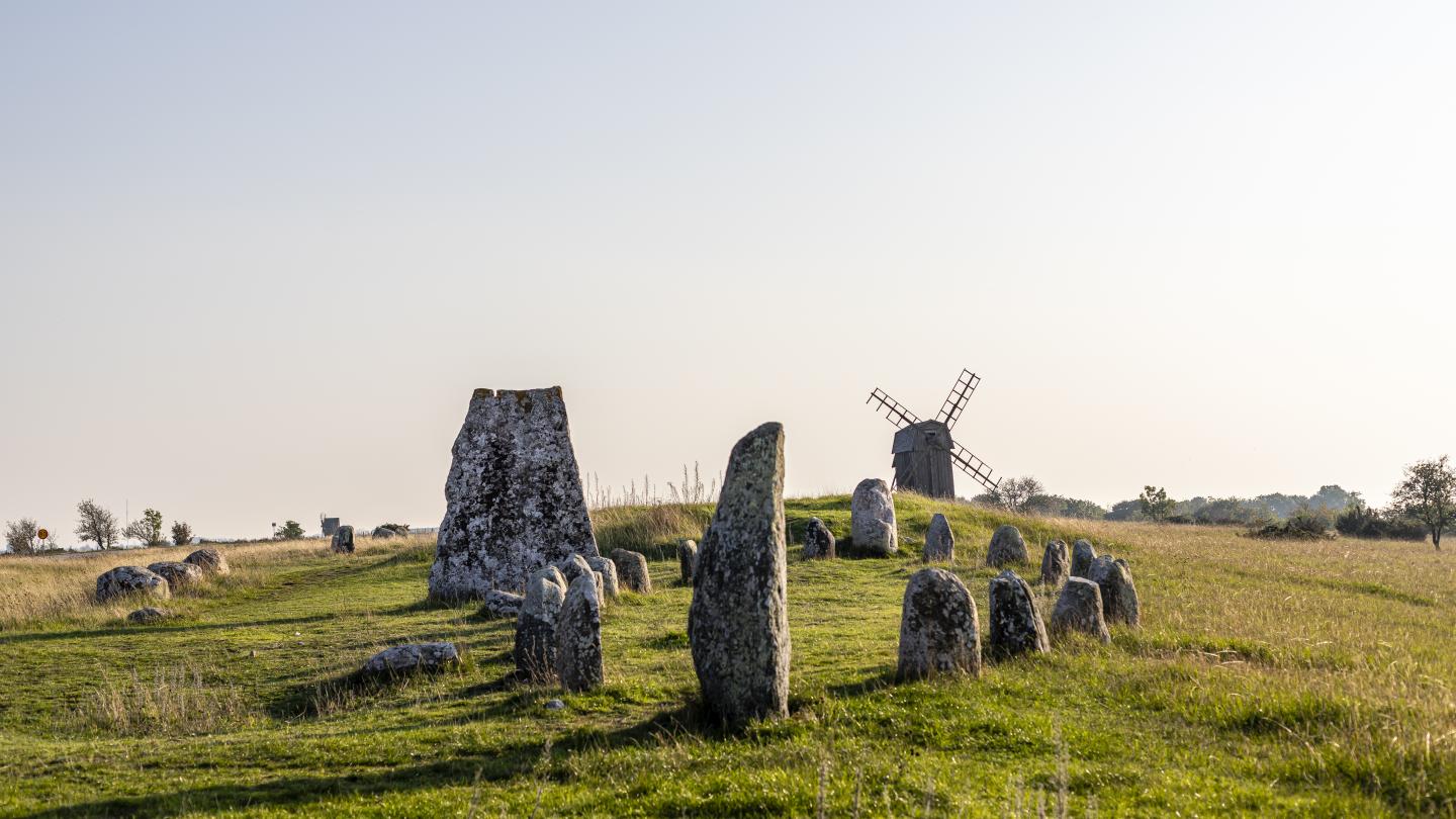
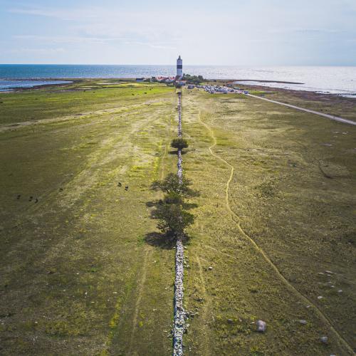
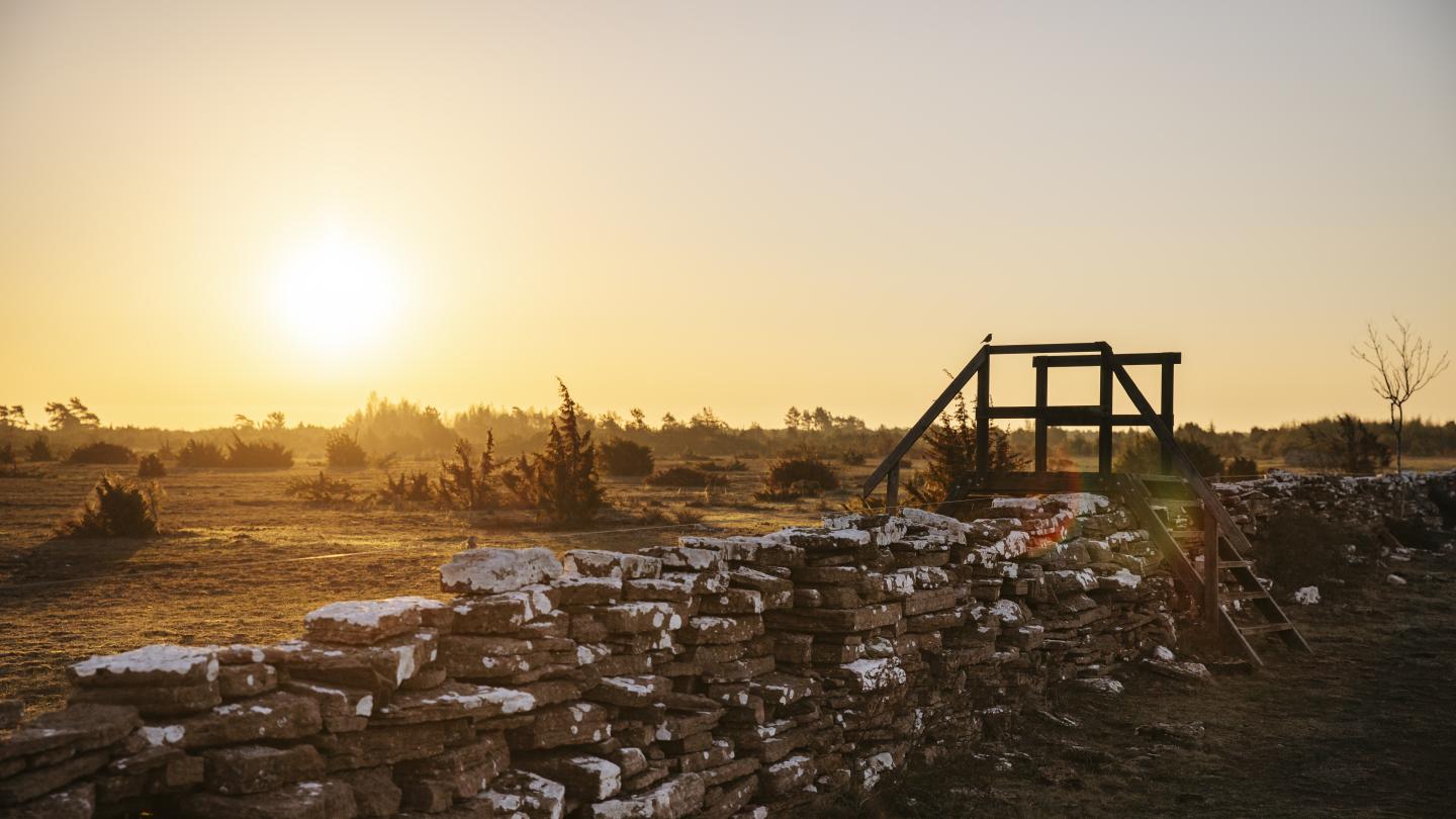
world heritage, southern island's agricultural landscape

From Karlevi in ​​the west to Gårdby in the east and then all the way down to the southern tip of Öland stretches a wonderful landscape and a unique cultural area. The row villages, the cultivated land, the lake lands and Stora alvaret together form the world heritage Södra Öland's agricultural landscape. Agriculture has been practiced on Öland for thousands of years. Due to the special conditions, only part of the island can be cultivated. Stora alvaret and the lake lands by the Baltic Sea have not been able to be cultivated but have mainly functioned as pasture. This means that today we can experience something as unique as a medieval farming landscape cultivated with modern machinery. Much that in southern Öland can be experienced as nature's untouched beauty is in fact a successful interaction between man and nature. Since 2000, the agricultural landscape has been on the UNESCO World Heritage List as one of the world's most unique places.

Read more about the world heritage.

the road between resmo and stenåsa

From Karlevi in ​​the west to Gårdby in the east and then all the way down to the southern tip of Öland stretches a wonderful landscape and a unique cultural area. The row villages, the cultivated land, the lake lands and Stora alvaret together form the world heritage Södra Öland's agricultural landscape. Agriculture has been practiced on Öland for thousands of years. Due to the special conditions, only part of the island can be cultivated. Stora alvaret and the lake lands by the Baltic Sea have not been able to be cultivated but have mainly functioned as pasture. This means that today we can experience something as unique as a medieval farming landscape cultivated with modern machinery. Much that in southern Öland can be experienced as nature's untouched beauty is in fact a successful interaction between man and nature. Since 2000, the agricultural landscape has been on the UNESCO World Heritage List as one of the world's most unique places.

Öland's test field

In the 1950s and 60s, 184 white-painted concrete covers were placed on Stora alvaret. It was no accident, from above they form a clear pattern. In 1955, work began to test the accuracy of cameras in aerial photography. Before that, the cameras had only been tested in laboratories. The results became world famous and meant that the camera manufacturers had to make adjustments to their cameras. Even today it is possible to find most of these concrete lids. Go on a serious hike or run and see how many you find, start at the Möckelmossen rest area.

the map wall

One of Alvar's true hidden gems is the 30-meter-long and one-meter-high limestone wall known as the Kartmuren. It was erected in the 1920s and has been used as a starting point to measure the severity. It is most easily reached from the Bårby Källa footpath. About 2 km into the trail, you walk along the middle wall, continue until you reach a stile. From here you can see the map wall about 300 meters northeast of the statte.

gettlinge burial ground

The grave field is one of the largest on Öland, with a length of almost two kilometers that runs north from Gettlinge village. Today, more than 200 graves remain out of the original 250. In the northern part of the burial ground, there is an impressive 30-meter-long ship set consisting of 23 raised granite blocks with about twenty bowl pits.